geocat.ch
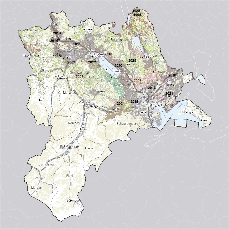
Fruchtfolgeflächen
Zeigt für die landwirtschaftliche Nutzung besonders gut geeignetes, ackerfähiges Kulturland.
Simple
Identification info
- Alternate title
-
FFFXXXXX_COL
- Date (Creation)
- 2024-07-09
- Presentation form
- Digital map
- Purpose
-
Fruchtfolgeflächen (FFF) sind für die landwirtschaftliche Nutzung besonders gut geeignetes, ackerfähiges Kulturland. Sachplan Fruchtfolgeflächen des Bundes (SP FFF)Der Sachplan Fruchtfolgeflächen des Bundes legt den Mindestumfang an Fruchtfolgeflächen für die gesamte Schweiz und die Aufteilung auf die Kantone fest. Die Kantone müssen dafür sorgen, dass dieser Mindestumfang dauernd erhalten bleibt (Art. 30 Abs. 1 und 2 RPV). Für die Schweiz ist eine Mindestfläche von 438`560 Hektaren definiert. Davon muss der Kanton Luzern 6%, das heisst eine Fläche von 27`500 Hektaren sicherstellen. Der SP FFF bezweckt die Ernährungssicherung in Zeiten von ungenügender Versorgung, den Erhalt der natürlichen Ernährungsgrundlage und des Produktionspotenzials für die kommenden Generationen und sorgt für den Schutz des Kulturlandes.
- Status
- On going
Point of contact
Responsible party
- Organisation name
-
Kanton Luzern, Abteilung Geoinformation
- Voice
-
041 228 51 83
Address
- City
-
Luzern
- Postal code
-
6002
- Country
-
CH
- Electronic mail address
- Streetname
-
Murbacherstrasse
- Streetnumber
-
21
- Website
- https://geoportal.lu.ch/ ( https )
- Role
- Publisher
Point of contact
Responsible party
- Organisation name
-
Dienststelle Umwelt und Energie (uwe)
- Voice
-
041 228 60 60
Address
- City
-
Luzern
- Postal code
-
6002
- Country
-
CH
- Electronic mail address
- Streetname
-
Libellenrain
- Streetnumber
-
15
- Website
- https://uwe.lu.ch/ ( https )
- Role
- Owner
- Last Name
-
Dienststelle Umwelt und Energie (uwe)
- Organisation Acronym
-
uwe
- Maintenance and update frequency
- As needed
-
geocat.ch
-
-
opendata.swiss
-
Boden
-
Bodennutzung
-
Fruchtfolgefläche
-
Landwirtschaft
-
Landwirtschaftliche Nutzung
-
Raumplanung
-
- Access constraints
- none
- Use constraints
- Copyright
- Use limitation
-
öffentlich zugängliche Geobasisdaten
- Access constraints
- none
- Use constraints
- none
- Use limitation
-
Freie Nutzung. Quellenangabe ist Pflicht
- Aggregate Datasetindentifier
- 33c09168-8525-4176-9734-4f295d7e6ffe
- Association Type
- Larger work citation
- Spatial representation type
- undefined
- Language
- Deutsch
- Character set
- UTF8
- Topic category
-
- S Agriculture
- Description
-
Kanton Luzern
))
- Distribution format
-
-
ESRI Geodatabase (.gdb)
(
)
-
ESRI Shapefile (.shp)
(
)
-
OGC GeoPackage (.gpkg)
(
)
-
ESRI Geodatabase (.gdb)
(
)
Distributor contact
Responsible party
- Organisation name
-
Dienststelle Raum und Wirtschaft (rawi)
- Voice
-
041 228 51 83
Address
- City
-
Luzern
- Postal code
-
6002
- Country
-
CH
- Electronic mail address
- Streetname
-
Murbacherstrasse
- Streetnumber
-
21
- Website
- https://geoportal.lu.ch ( https )
- Role
- Point of contact
- First Name
-
Geodaten
- Last Name
-
Kanton Luzern
- Organisation Acronym
-
rawi
- OnLine resource
-
Datenshop
(
https
)
Produktansicht Geodatenshop
- Hierarchy level
- Dataset
- Statement
-
unbekannt
- Reference system identifier
- CH1903+
Metadata
- Metadata language
- Deutsch
- Character set
- UTF8
- Hierarchy level
- Dataset
- Date stamp
- 2024-12-05
- Metadata standard name
-
GM03 2+
Metadata author
Responsible party
- Organisation name
-
Dienststelle Raum und Wirtschaft (rawi)
- Voice
-
041 228 51 83
Address
- City
-
Luzern
- Postal code
-
6002
- Country
-
CH
- Electronic mail address
- Streetname
-
Murbacherstrasse
- Streetnumber
-
21
- Website
- https://geoportal.lu.ch ( https )
- Role
- Point of contact
- First Name
-
Philipp
- Last Name
-
Renggli
- Organisation Acronym
-
rawi
- Maintenance and update frequency
- As needed