geocat.ch
swissBOUNDARIES3D cantonal boundaries
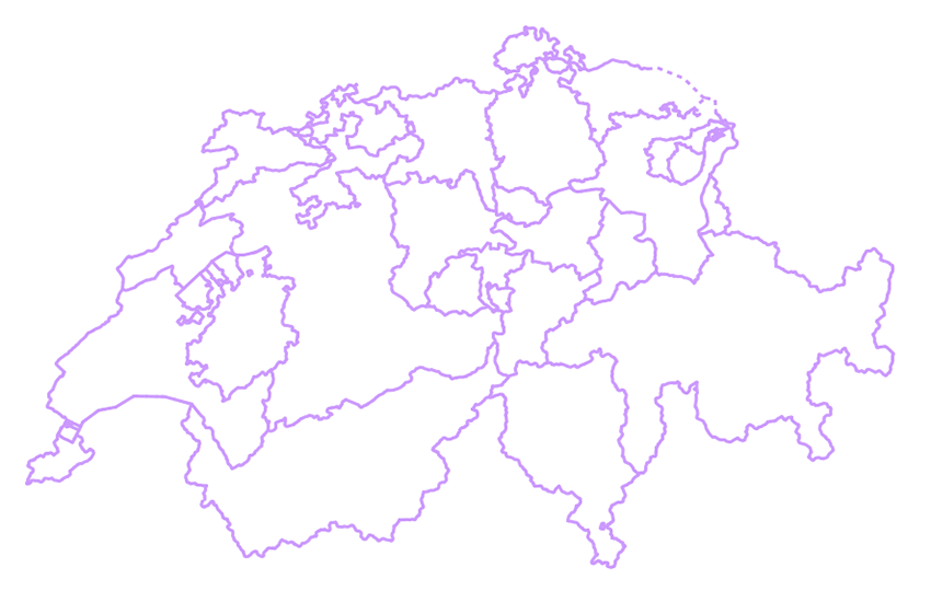
swissBOUNDARIES3D cantonal boundaries constitute the administrative borders of the Swiss cantons. The Swiss Confederation consists of 26 cantons which have the status of constituent states.swissBOUNDARIES3D cantonal boundaries is derived from the parent dataset swissBOUNDARIES3D.
Simple
Identification info
- Alternate title
-
Cantonal boundaries
- Date (Revision)
- 2024-12-18
- Date (Publication)
- 2025-04-06
- Citation identifier
- ch.swisstopo.swissboundaries3d-kanton-flaeche.fill
Citation identifier
- Collective title
-
Administrative boundaries (national survey)
Point of contact
Responsible party
- Organisation name
-
Federal Office of Topography swisstopo
- Position name
-
Geodata Distribution
- Voice
-
+41 58 469 01 11
- Facsimile
-
+41 58 469 04 59
Address
- City
-
Wabern
- Postal code
-
3084
- Country
-
CH
- Electronic mail address
- Streetname
-
Seftigenstrasse
- Streetnumber
-
264
- Protocol
-
WWW:LINK
- Role
- Point of contact
- Last Name
-
geodata
- Organisation Acronym
-
swisstopo
- Maintenance and update frequency
- Annually
- Maintenance note
-
swissBOUNDARIES3D is updated annually. Updating is based on the information of the Cadastral Surveying (CS) and the Federal Statistical Office (FSO).
-
GEMET - INSPIRE themes, version 1.0
-
-
Administrative units
-
-
geocat.ch
-
-
opendata.swiss
-
-
geocat.ch
-
-
FSDI Federal Spatial Data Infrastructure
-
-
geocat.ch
-
-
canton
-
-
GEMET
-
-
administrative boundary
-
- Use constraints
- License
- Other constraints
-
NonCommercialAllowed-CommercialAllowed-ReferenceRequired
- Aggregate Datasetindentifier
- 86cb844f-296b-40cb-b972-5b1ae8028f7c
- Association Type
- Larger work citation
- Denominator
- 10000
- Language
- Deutsch
- Language
- Français
- Language
- English
- Character set
- UTF8
- Topic category
-
- D Political and Administrative Boundaries
Extent
- Description
-
Switzerland
))

Extent
- Description
-
Liechtenstein
))

- Basic geodata identifier
-
39.3
- Basic geodata identifier type
- Federal
- Distribution format
-
-
ESRI Shapefile (SHP)
()
-
ESRI File Geodatabase FileGDB (GDB)
()
-
AutoCAD DXF (DXF)
()
-
INTERLIS 2 (XTF)
()
-
OGC Geopackage (GPKG)
()
-
ESRI Shapefile (SHP)
()
- OnLine resource
-
Preview map.geo.admin.ch
(
MAP:Preview
)
Preview map.geo.admin.ch
- OnLine resource
-
ch.swisstopo.swissboundaries3d-kanton-flaeche.fill
(
OGC:WMS
)
WMS-FSDI service, layer "Cantonal boundaries"
- OnLine resource
-
ch.swisstopo.swissboundaries3d-kanton-flaeche.fill
(
OGC:WMTS
)
WMTS-FSDI service, layer "Cantonal boundaries"
- OnLine resource
-
swissBOUNDARIES3D
(
WWW:LINK
)
swissBOUNDARIES3D
- OnLine resource
-
Download server from geo.admin.ch
(
WWW:DOWNLOAD-URL
)
Download server from geo.admin.ch
- OnLine resource
- map.geo.admin.ch ( CHTOPO:specialised-geoportal )
- OnLine resource
-
RESTful API from geo.admin.ch
(
ESRI:REST
)
RESTful API from geo.admin.ch
- OnLine resource
- Linked Data ( LINKED:DATA:RDF )
- OnLine resource
- Linked Data Service (using SPARQL) ( WWW:LINK )
- Geometric object type
- Curve
- Geometric object type
- Surface
- Reference system identifier
- EPSG:2056
Content Information
- Included with dataset
- Date (Publication)
- 2025-04-06
- Model type
- INTERLIS 2
Metadata
- Metadata language
- Deutsch
- Character set
- UTF8
- Hierarchy level
- Dataset
- Date stamp
- 2025-04-07T06:44:36.515Z
- Metadata standard name
-
GM03 2+
Metadata author
Responsible party
- Organisation name
-
Federal Office of Topography swisstopo
- Position name
-
Metadata contact
- Voice
-
+41 58 469 01 11
Address
- City
-
Wabern
- Postal code
-
3084
- Country
-
CH
- Electronic mail address
- Streetname
-
Seftigenstrasse
- Streetnumber
-
264
- Protocol
-
WWW:LINK
- Hours of service
-
08h30 - 11h00 / 14h00 - 16h00 GMT+1
- Role
- Point of contact
- Last Name
-
metadata
- Organisation Acronym
-
swisstopo