geocat.ch
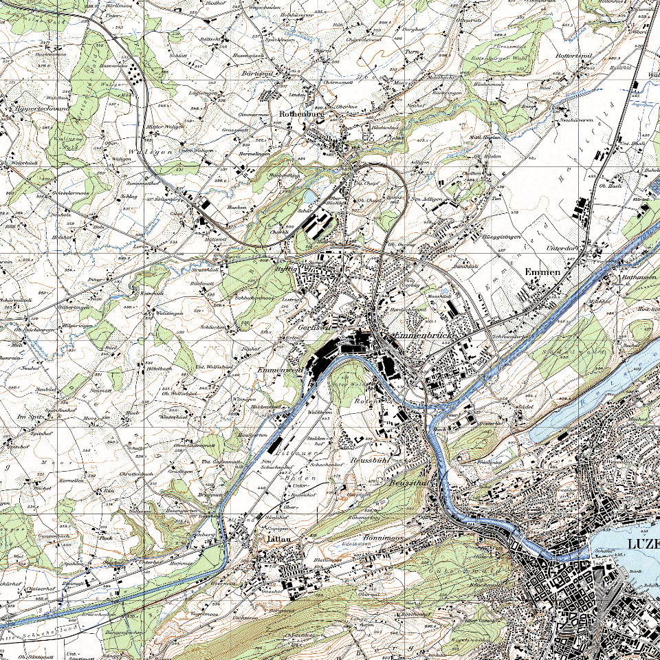
Landeskarte 1:25'000 (1970)
Seit dem Bundesgesetz von 1935 bilden die Landeskarten aller Massstäbe die noch heute gültigen offiziellen Karten der Schweiz. Sie haben damit die Dufour- und Siegfriedkarten abgelöst.
Simple
Identification info
- Alternate title
-
LK251970_DS
- Date (Creation)
- 2025-01-27
- Presentation form
- Digital map
- Purpose
-
Topographische Landeskarten der Schweiz. Historische Kartenblätter als Basis für Studien in Landschaftsentwicklung und Geschichtsforschung.
- Status
- Completed
Point of contact
Responsible party
- Organisation name
-
Kanton Luzern, Abteilung Geoinformation
- Voice
-
041 228 51 83
Address
- City
-
Luzern
- Postal code
-
6002
- Country
-
CH
- Electronic mail address
- Streetname
-
Murbacherstrasse
- Streetnumber
-
21
- Website
- https://geoportal.lu.ch/ ( https )
- Role
- Publisher
Point of contact
Responsible party
- Organisation name
-
Bundesamt für Landestopographie (swisstopo)
- Voice
-
031 963 21 11
Address
- City
-
Wabern
- Postal code
-
3084
- Country
-
CH
- Electronic mail address
- Streetname
-
Seftigenstrasse
- Streetnumber
-
264
- Role
- Owner
- Last Name
-
Bundesamt für Landestopographie (swisstopo)
- Organisation Acronym
-
swisstopo
- Maintenance and update frequency
- Not planned
-
geocat.ch
-
-
opendata.swiss
-
Basiskarte
-
Topographie
-
Kartenwerk
-
- Access constraints
- none
- Use constraints
- Copyright
- Use limitation
-
öffentlich zugängliche Geobasisdaten
- Access constraints
- none
- Use constraints
- none
- Use limitation
-
Freie Nutzung. Quellenangabe ist Pflicht
- Aggregate Datasetindentifier
- 41c0b993-7bda-4742-8654-8a37380d0dc5
- Association Type
- Larger work citation
- Aggregate Datasetindentifier
- f3820040-b04a-443a-aadd-bf4429abc5d1
- Association Type
- Larger work citation
- Spatial representation type
- Grid
- Denominator
- 25000
- Language
- Deutsch
- Character set
- UTF8
- Topic category
-
- A Base Maps, Land Cover, Aerial and Satellite Imagery
- A1 Base Maps, Landscape Models
- Description
-
Kanton Luzern
))
- Distribution format
-
-
Tagged Image File Format (.tif)
(
6.0
)
-
Tagged Image File Format (.tif)
(
6.0
)
Distributor contact
Responsible party
- Organisation name
-
Dienststelle Raum und Wirtschaft (rawi)
- Voice
-
041 228 51 83
Address
- City
-
Luzern
- Postal code
-
6002
- Country
-
CH
- Electronic mail address
- Streetname
-
Murbacherstrasse
- Streetnumber
-
21
- Website
- https://geoportal.lu.ch ( https )
- Role
- Point of contact
- First Name
-
Geodaten
- Last Name
-
Kanton Luzern
- Organisation Acronym
-
rawi
- OnLine resource
-
Datenshop
(
https
)
Produktansicht Geodatenshop
- Hierarchy level
- Dataset
- Statement
-
Grundlagen: Landesvermessung
- Reference system identifier
- CH1903+
Content Information
Metadata
- Metadata language
- Deutsch
- Character set
- UTF8
- Hierarchy level
- Dataset
- Date stamp
- 2025-03-14
- Metadata standard name
-
GM03 2+
Metadata author
Responsible party
- Organisation name
-
Dienststelle Raum und Wirtschaft (rawi)
- Voice
-
041 228 51 83
Address
- City
-
Luzern
- Postal code
-
6002
- Country
-
CH
- Electronic mail address
- Streetname
-
Murbacherstrasse
- Streetnumber
-
21
- Website
- https://geoportal.lu.ch ( https )
- Role
- Point of contact
- First Name
-
Louis
- Last Name
-
Zwyssig
- Organisation Acronym
-
rawi
- Maintenance and update frequency
- Not planned