geocat.ch
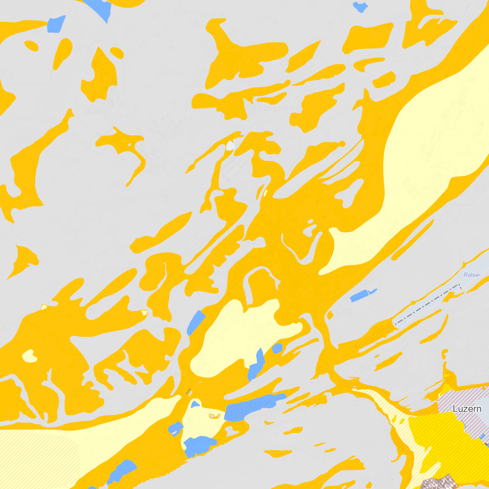
Baugrundklassen
Seismische Baugrundklassen gemäss Norm SIA 261 «Einwirkungen auf Tragwerke» sind eine erforderliche Angabe um die Erdbebeneinwirkung auf Bauwerke zu bestimmen.
Simple
Informazioni di identificazione
- Titolo alternativo
-
BGKLASSX_COL
- Data (Creazione)
- 2024-08-16
- Formato di presentazione
- Mappa digitale
- Finalità
-
Seismische Mikrozonierung, dient als Gefahrenhinweiskarte Erdbeben. Die Baugrundklasse ist einer der erforderlichen Parametern, um die Erdbebeneinwirkung für ein Bauwerk gemäss der Baunorm SIA 261 «Einwirkungen auf Tragwerke» zu bestimmen.Für ausgewählte Perimeter wurden seismische Mikrozonierungen erstellt, welche die bestehenden Baugrundklassen nach der Baunorm SIA 261 «Einwirkung auf Tragwerke» in diesen Gebieten ersetzen.
- Status
- Completato
Punto di contatto
Servizio responsabile
- Nome dell'ente
-
Kanton Luzern, Abteilung Geoinformation
- Telefono
-
041 228 51 83
Indirizzo
- Risorsa online
- https://geoportal.lu.ch/ ( https )
- Ruolo
- Publisher
Punto di contatto
Servizio responsabile
- Nome dell'ente
-
Dienststelle für Verkehr und Infrastruktur (vif)
- Telefono
-
041 318 12 12
Indirizzo
- Risorsa online
- https://vif.lu.ch/ ( https )
- Ruolo
- Owner
- Cognome
-
Dienststelle für Verkehr und Infrastruktur (vif)
- Abbreviazione dell'organizzazione
-
vif
- Frequenza di aggiornamento
- Secondo necessità
-
geocat.ch
-
-
opendata.swiss
-
Gebäude und Anlagen
-
Geophysik
-
Naturgefahren
-
Risiken
-
Schadenereignis
-
- Vincoli di accesso
- none
- Vincoli di fruibilità
- Proprietà intellettuale dei dati
- Limitazione d’uso
-
öffentlich zugängliche Geobasisdaten
- Vincoli di accesso
- none
- Vincoli di fruibilità
- none
- Limitazione d’uso
-
Freie Nutzung. Quellenangabe ist Pflicht
- Identificatore aggregato del dataset
- 19990b4f-845f-4ea5-a9e8-4bcac2640eb8
- Tipo di associazione
- Larger work citation
- Identificatore aggregato del dataset
- a4dc666f-6fdd-4c53-8b72-e21e7e89a033
- Tipo di associazione
- Larger work citation
- Tipo di rappresentazione spaziale
- Dati vettoriali
- Lingua dei metadati
- Deutsch
- Set dei caratteri dei metadati
- UTF8
- Tema
-
- F Geologia, suolo, rischi naturali
- F3 Rischi naturali
- Descrizione
-
Kanton Luzern
))
- Formato di distribuzione
-
-
ESRI Geodatabase (.gdb)
(
)
-
ESRI Shapefile (.shp)
(
)
-
OGC GeoPackage (.gpkg)
(
)
-
ESRI Geodatabase (.gdb)
(
)
Distributore
Servizio responsabile
- Nome dell'ente
-
Dienststelle Raum und Wirtschaft (rawi)
- Telefono
-
041 228 51 83
Indirizzo
- Risorsa online
- https://geoportal.lu.ch ( https )
- Ruolo
- Point of contact
- Nome
-
Geodaten
- Cognome
-
Kanton Luzern
- Abbreviazione dell'organizzazione
-
rawi
- Risorsa online
-
Datenshop
(
https
)
Produktansicht Geodatenshop
- Livello
- Set di dati
- Genealogia del dato – Processo di produzione
-
unbekannt
- Identificatore del sistema di riferimento
- CH1903+
Metadata
- Lingua dei metadati
- Deutsch
- Set dei caratteri dei metadati
- UTF8
- Livello gerarchico
- Set di dati
- Data dei metadati
- 2024-09-02
- Nome dello Standard dei metadati
-
GM03 2+
Contatto
Servizio responsabile
- Nome dell'ente
-
Dienststelle Raum und Wirtschaft (rawi)
- Telefono
-
041 228 51 83
Indirizzo
- Risorsa online
- https://geoportal.lu.ch ( https )
- Ruolo
- Point of contact
- Nome
-
Marius
- Cognome
-
Menz
- Abbreviazione dell'organizzazione
-
rawi
- Frequenza di aggiornamento
- Secondo necessità