geocat.ch
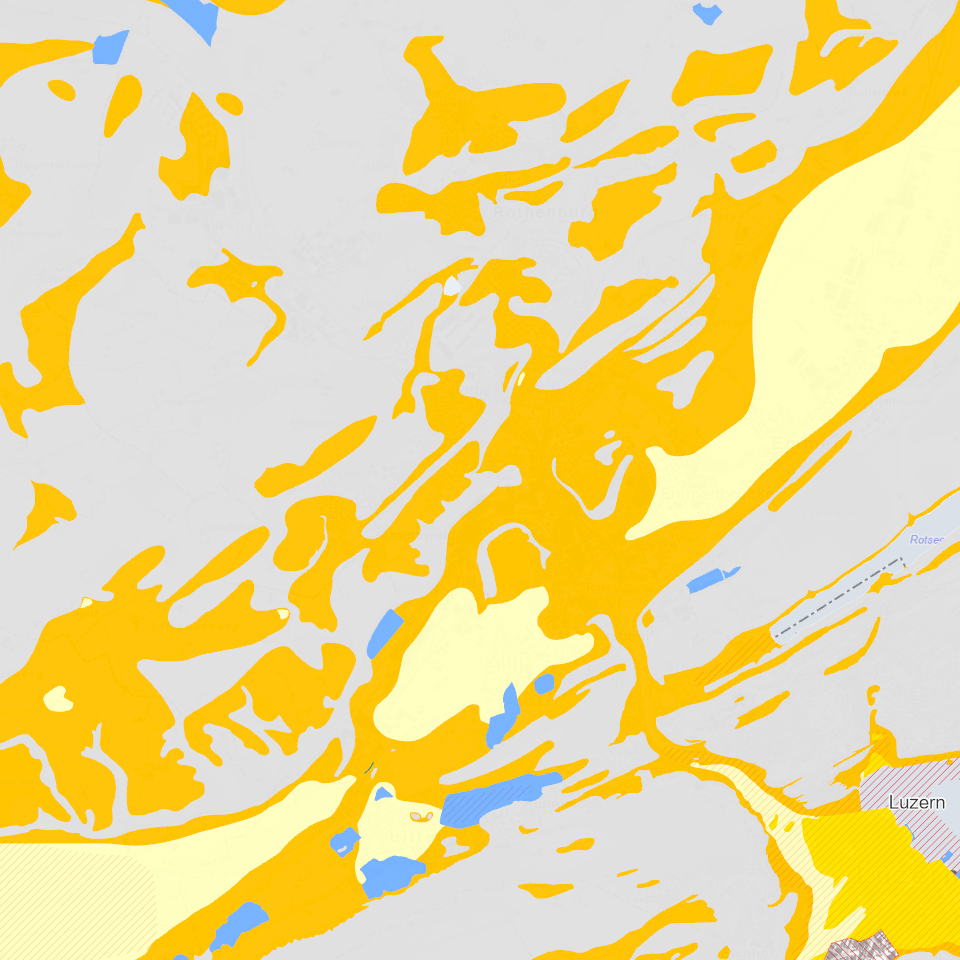
Baugrundklassen
Seismische Baugrundklassen gemäss Norm SIA 261 «Einwirkungen auf Tragwerke» sind eine erforderliche Angabe um die Erdbebeneinwirkung auf Bauwerke zu bestimmen.
Simple
Identification info
- Alternate title
-
BGKLASSX_COL
- Date (Creation)
- 2024-08-16
- Presentation form
- Digital map
- Purpose
-
Seismische Mikrozonierung, dient als Gefahrenhinweiskarte Erdbeben. Die Baugrundklasse ist einer der erforderlichen Parametern, um die Erdbebeneinwirkung für ein Bauwerk gemäss der Baunorm SIA 261 «Einwirkungen auf Tragwerke» zu bestimmen.Für ausgewählte Perimeter wurden seismische Mikrozonierungen erstellt, welche die bestehenden Baugrundklassen nach der Baunorm SIA 261 «Einwirkung auf Tragwerke» in diesen Gebieten ersetzen.
- Status
- Completed
Point of contact
Responsible party
- Organisation name
-
Kanton Luzern, Abteilung Geoinformation
- Voice
-
041 228 51 83
Address
- City
-
Luzern
- Postal code
-
6002
- Country
-
CH
- Electronic mail address
- Streetname
-
Murbacherstrasse
- Streetnumber
-
21
- Website
- https://geoportal.lu.ch/ ( https )
- Role
- Publisher
Point of contact
Responsible party
- Organisation name
-
Dienststelle für Verkehr und Infrastruktur (vif)
- Voice
-
041 318 12 12
Address
- City
-
Kriens
- Postal code
-
6010
- Country
-
CH
- Electronic mail address
- Streetname
-
Arsenalstrasse
- Streetnumber
-
43
- Website
- https://vif.lu.ch/ ( https )
- Role
- Owner
- Last Name
-
Dienststelle für Verkehr und Infrastruktur (vif)
- Organisation Acronym
-
vif
- Maintenance and update frequency
- As needed
-
geocat.ch
-
-
opendata.swiss
-
Gebäude und Anlagen
-
Geophysik
-
Naturgefahren
-
Risiken
-
Schadenereignis
-
- Access constraints
- none
- Use constraints
- Copyright
- Use limitation
-
öffentlich zugängliche Geobasisdaten
- Access constraints
- none
- Use constraints
- none
- Use limitation
-
Freie Nutzung. Quellenangabe ist Pflicht
- Aggregate Datasetindentifier
- 19990b4f-845f-4ea5-a9e8-4bcac2640eb8
- Association Type
- Larger work citation
- Aggregate Datasetindentifier
- a4dc666f-6fdd-4c53-8b72-e21e7e89a033
- Association Type
- Larger work citation
- Spatial representation type
- Vector
- Language
- Deutsch
- Character set
- UTF8
- Topic category
-
- F Geology, Soils, Natural Hazards
- F3 Natural Hazards
- Description
-
Kanton Luzern
))
- Distribution format
-
-
ESRI Geodatabase (.gdb)
(
)
-
ESRI Shapefile (.shp)
(
)
-
OGC GeoPackage (.gpkg)
(
)
-
ESRI Geodatabase (.gdb)
(
)
Distributor contact
Responsible party
- Organisation name
-
Dienststelle Raum und Wirtschaft (rawi)
- Voice
-
041 228 51 83
Address
- City
-
Luzern
- Postal code
-
6002
- Country
-
CH
- Electronic mail address
- Streetname
-
Murbacherstrasse
- Streetnumber
-
21
- Website
- https://geoportal.lu.ch ( https )
- Role
- Point of contact
- First Name
-
Geodaten
- Last Name
-
Kanton Luzern
- Organisation Acronym
-
rawi
- OnLine resource
-
Datenshop
(
https
)
Produktansicht Geodatenshop
- Hierarchy level
- Dataset
- Statement
-
unbekannt
- Reference system identifier
- CH1903+
Metadata
- Metadata language
- Deutsch
- Character set
- UTF8
- Hierarchy level
- Dataset
- Date stamp
- 2024-09-02
- Metadata standard name
-
GM03 2+
Metadata author
Responsible party
- Organisation name
-
Dienststelle Raum und Wirtschaft (rawi)
- Voice
-
041 228 51 83
Address
- City
-
Luzern
- Postal code
-
6002
- Country
-
CH
- Electronic mail address
- Streetname
-
Murbacherstrasse
- Streetnumber
-
21
- Website
- https://geoportal.lu.ch ( https )
- Role
- Point of contact
- First Name
-
Marius
- Last Name
-
Menz
- Organisation Acronym
-
rawi
- Maintenance and update frequency
- As needed